Public sector
PSR System – supporting the design of the rescue system

PSR System – supporting the design of the rescue system on the levels: province, counties and communities
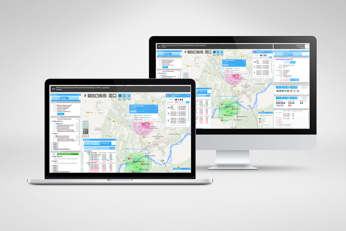
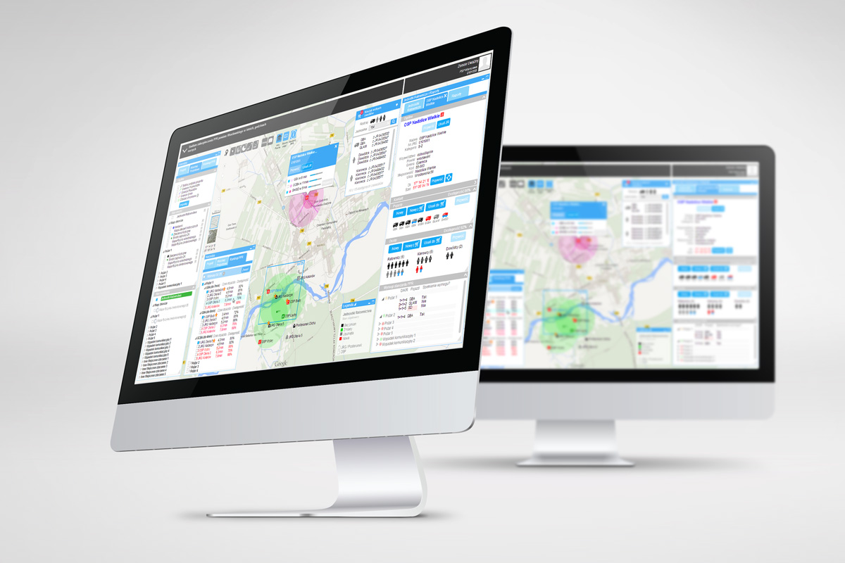
The PSR system is a number of tools allowing for visualization on maps - the current and desirable states concerning Threats as well as Forces and Means of units in the National Rescue System, created on the basis of analytical models and standards written in the PSR system.
Its main aims are predicting places and risks related to occurrence of disadvantageous events and effects of their occurrence, via automatic generation of Threats Map and Risk Map based on historical information downloaded from the reports base of the Command Support System (System Wspomagania Dowodzenia - SWD) of the individual Rescue Units. Additionally, when contradicting information with Forces and Means of individual Rescue Units registered in the Command Support Systems (SWD) the PSR system allows for optimising deployment of Rescue Units and their equipment in order to increase the Safety Level oft he areas endangered with disadvantageous events.
Functionalities
- Automatic generation of Risks Maps and Threats Maps grounded on Reports Base
- Visualization of deployment of Rescue Units and the state of Forces and Means
- Visualization of covering in Forces and Means selected areas of the map
- Identifying the Security Level for the chosen area of the map for individual types of threats
- Simulating the influence of the change in operating ratios (commuting time, availability and location of Forces and Means for the Protection Level of the chosen area of the map, for individual types of threats.
- Ensuring visualization of the areas threatened (specific threat such as fire, communication accident, others) with the lack of possibility to give first aid in a given period)
- Reports from the model situations
The System uses the newest models and standards concerning the assessment risk, time for undertaking the First Rescue, equipment and personnel choice ofthe Rescue Unit depending on the level of risk and assumed aims of protection prepared together with the system.
In order to make real the risk levels and the level of protection, the PSR system uses geospatial information concerning a given area, just as kinds and destinations of the objects from the road infrastructure, buildings and other sources located in a given area, in correlation with the proper standards of PPR connected with these kind of objects.
The implementation of the above-mentioned mechanisms allows not only for improving security, by increasing the efficiency of planning the Rescue System, but also rationalizing investment needs during the process of planning the purchase of the Rescue Units.



Gallery
Worth Reading